












River metrics from images

Add image-based river metrics to your toolbox.

Cameras and video let you measure discharge from a distance, so you can collect more data, more often, and in spots where regular instruments can't go. Our tools sit next to the methods you already use, not in place of them.

15 years of image-based velocimetry
DataView · live demo
Live
2026-03-06 08:30
Discharge128.5 m³/s
Versioned rating curveH[m]Q[m³/s]
15 yrs
Building image-based velocimetry
Free
RIVeR is open source (AGPL-3.0)
1
App to survey all your stations
0
Instruments in the water

Working with & recognised by

National University of CórdobaNational University of Córdoba
Faculty of Exact, Physical & Natural Sciences (UNC)Faculty of Exact, Physical & Natural Sciences (UNC)
Government of CórdobaGovernment of Córdoba
National Scientific & Technical Research Council (Argentina)National Scientific & Technical Research Council (Argentina)
National Water Institute (Argentina)National Water Institute (Argentina)
World Meteorological OrganizationWorld Meteorological Organization
WMO HydroHubWMO HydroHub
Inter-American Development BankInter-American Development Bank
YPF FoundationYPF Foundation
INVAP FoundationINVAP Foundation
Environment and Climate Change CanadaEnvironment and Climate Change Canada
Catholic University of Cuenca (Ecuador)Catholic University of Cuenca (Ecuador)
Matanza-Riachuelo Basin Authority (ACUMAR)Matanza-Riachuelo Basin Authority (ACUMAR)
Port of Bahía BlancaPort of Bahía Blanca
National University of CórdobaNational University of Córdoba
Faculty of Exact, Physical & Natural Sciences (UNC)Faculty of Exact, Physical & Natural Sciences (UNC)
Government of CórdobaGovernment of Córdoba
National Scientific & Technical Research Council (Argentina)National Scientific & Technical Research Council (Argentina)
National Water Institute (Argentina)National Water Institute (Argentina)
World Meteorological OrganizationWorld Meteorological Organization
WMO HydroHubWMO HydroHub
Inter-American Development BankInter-American Development Bank
YPF FoundationYPF Foundation
INVAP FoundationINVAP Foundation
Environment and Climate Change CanadaEnvironment and Climate Change Canada
Catholic University of Cuenca (Ecuador)Catholic University of Cuenca (Ecuador)
Matanza-Riachuelo Basin Authority (ACUMAR)Matanza-Riachuelo Basin Authority (ACUMAR)
Port of Bahía BlancaPort of Bahía Blanca

How it works

From a camera to discharge in three steps

01
01

Capture the water

A field station, which is just a camera run by a Raspberry Pi, sends video and images. Or you bring your own footage from a drone, a phone or a fixed camera. Nothing goes in the water.

02
02

RIVeR turns footage into discharge

RIVeR, our open-source image-based velocimetry engine, works out surface velocities and discharge. Run it yourself, or let DataView run it for you in the cloud.

03
03

Manage & analyse in DataView

Keep an eye on every station, review processed videos, velocity profiles and hydrographs, check and export data, and build rating curves that link level to discharge, uncertainties included.

The platform · web app

DataView: run your stations from one place

Your stations send videos, images and status to the cloud. DataView processes the footage for you and brings it together: station health, water level, discharge, hydrographs and rating curves.

  • Station health: connection, battery & disk space
  • Automatic cloud processing (RIVeR on AWS)
  • Velocity profiles, hydrographs & processed video
  • Qualify, export & build rating curves with uncertainty
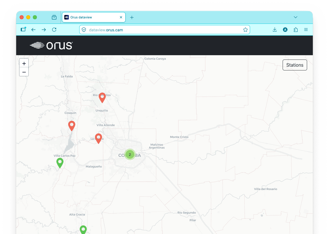
DataView map of monitoring stations
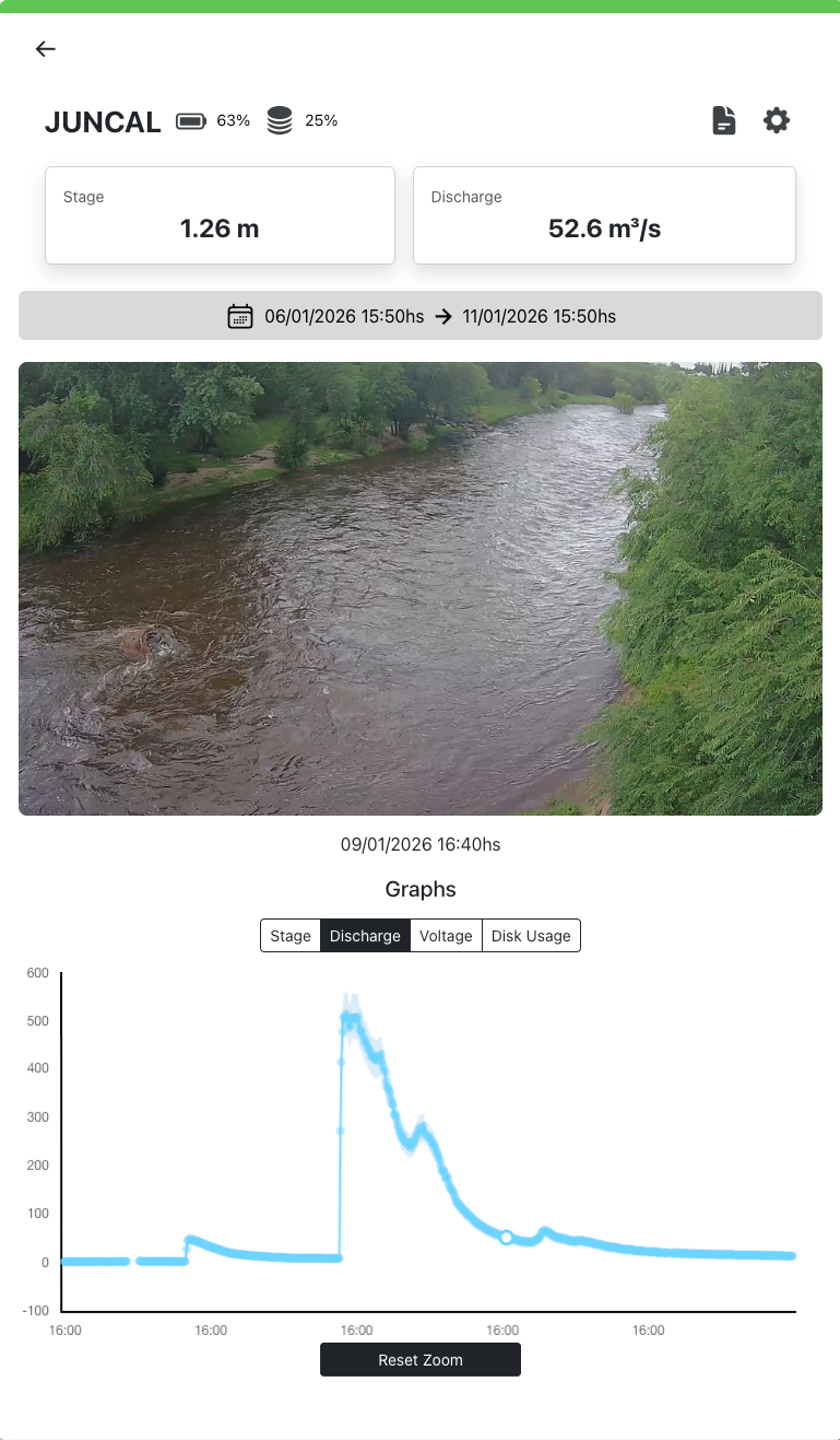
DataView station detail
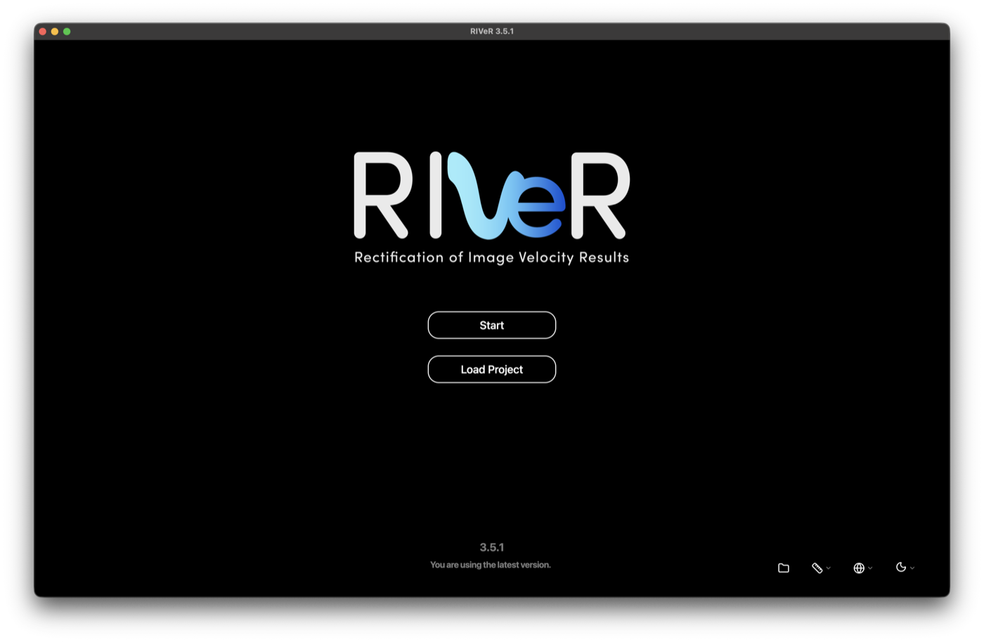
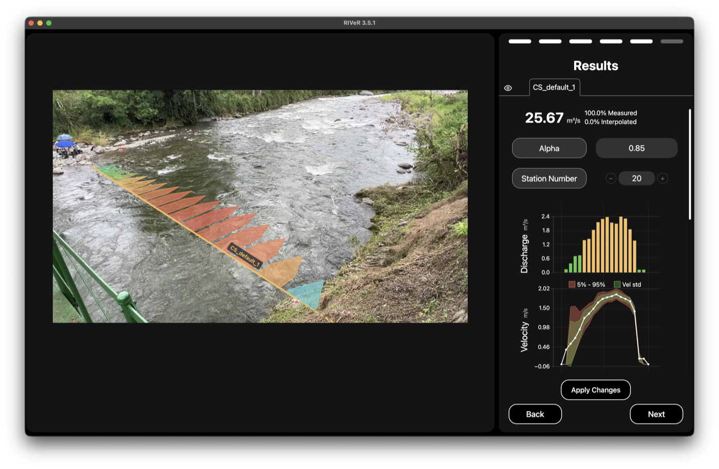
The RIVeR home screenRIVeR showing discharge results for a river cross-section

Open source · AGPL-3.0

RIVeR: from video to discharge, automatically

RIVeR is the open-source engine behind everything we do. It turns video into surface velocities and discharge, and it's built to be easy: clear steps, smart defaults, and an interface in 12 languages. Run it on your own machine, or let DataView run it for you.

Easy to use
Guided steps and smart defaults. No coding, no steep learning curve.
Works with any camera
Drone, riverbank or fixed-station footage. No special hardware needed.
Free and open source
AGPL-3.0, free to use and change, built in the open on GitHub.
Speaks 12 languages
Fully translated, and ready to run on Windows, Mac and Linux.
See how RIVeR-LAC brought this to a whole region

Training & workshops

Workshops, built around your team

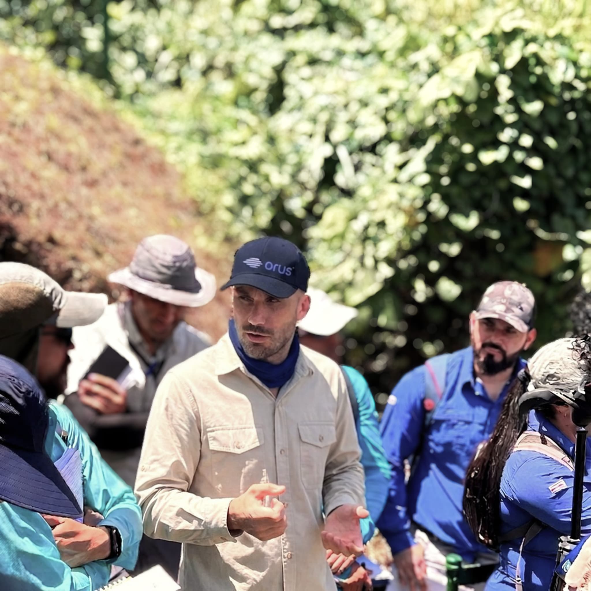
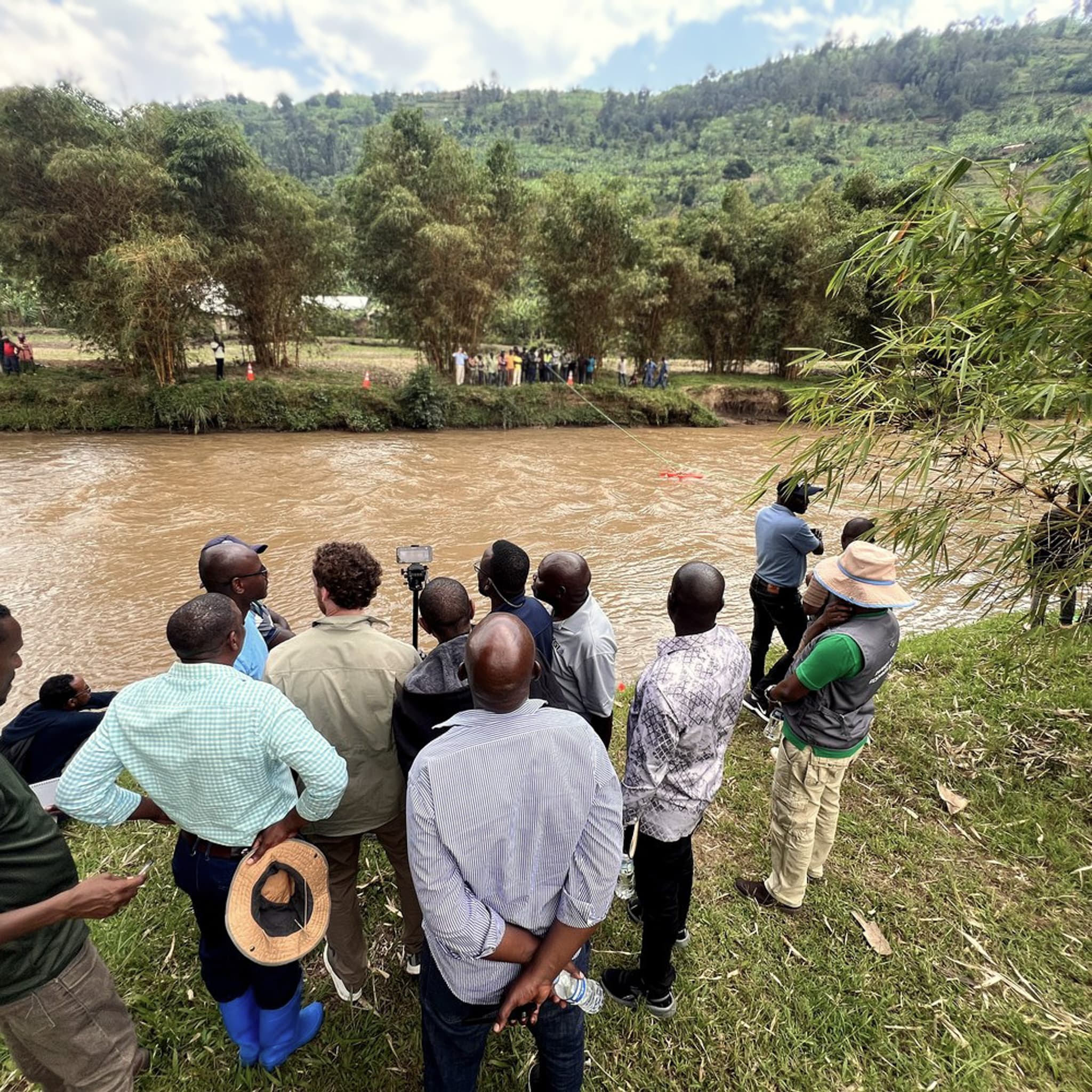
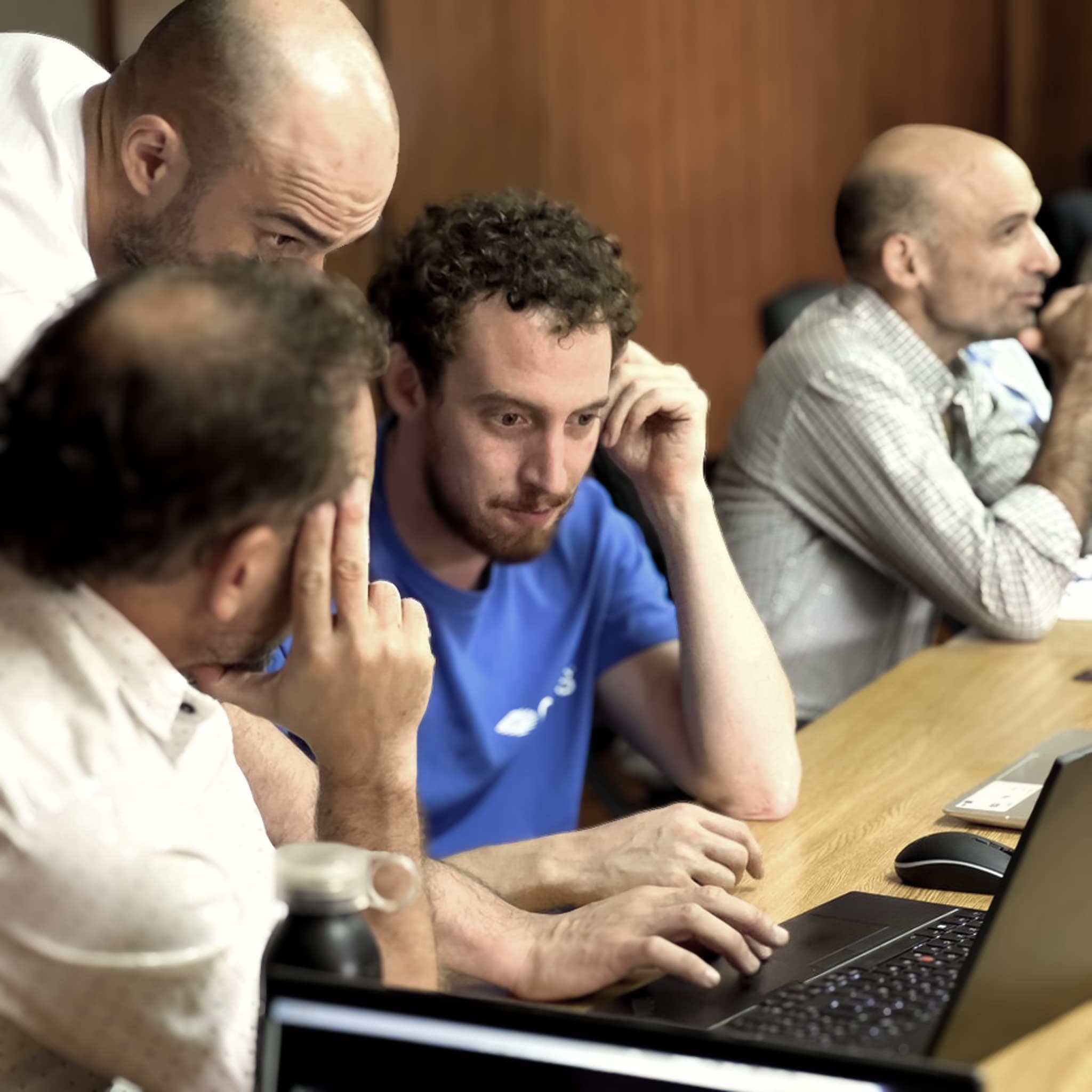
Every workshop is shaped around your sites, your equipment and your goals. We've trained teams in Costa Rica, Rwanda and Argentina, and we'd happily do the same for yours, so you can run your own monitoring with confidence.

Virtual

Live online sessions for your team, wherever they are.

On-site, one-to-one

We come to you and train hands-on, in the field and on your own gear.

Workshop in Costa Rica
Costa Rica
Field training
Workshop in Rwanda
Rwanda
On-site workshop
Workshop in Argentina
Argentina
Hands-on session

Also from Orus

Site assessment & station designInstallation & deploymentIntegration & data analysis

Our story

It began with a dangerous question

“How do you safely measure a flash flood in the mountains?”

Orus started in the mountains around Córdoba, Argentina, out of a research project at the National University of Córdoba. The answer was never buying pricier equipment. It was rethinking how monitoring could work, using cameras, good software and open-source tools.

2015
First RIVeR released
2016
First Raspberry-Pi image-based velocimetry station, with the USGS
2021
Five special awards at IB50K, a national business-plan competition in Argentina
2024–25
RIVeR-LAC: a rebuilt RIVeR and the image-based velocimetry guidelines
Today
Stations from different organizations, surveyed automatically
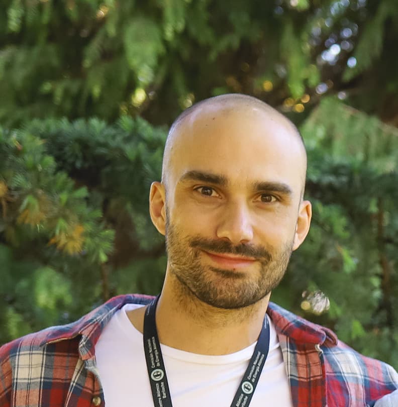
Antoine Patalano

Antoine Patalano

Co-Founder & CEO

Mechanical engineer, PhD. Built the first RIVeR and has spent over a decade making river measurement simpler.

Leandro Massó

Leandro Massó

Co-Founder & CTO

Civil engineer, PhD. His deep knowledge of hydraulics is what makes RIVeR and DataView accurate, so every measurement rests on solid science.

Why Orus

Accurate where it counts, open by default

Keep it simple

Hard problems don't always need complicated tools. We cut out the steps you don't need.

Work in the open

We share our work because that's how the tools get better for everyone.

Keep it within reach

Good water data shouldn't depend on your budget. You get the quality without the usual price tag.

Stay practical

We build for the real problems people hit in the field, not for theory.

Resources

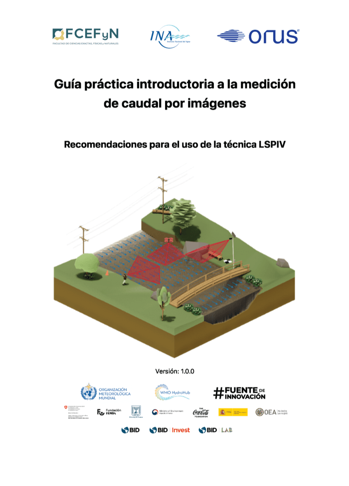
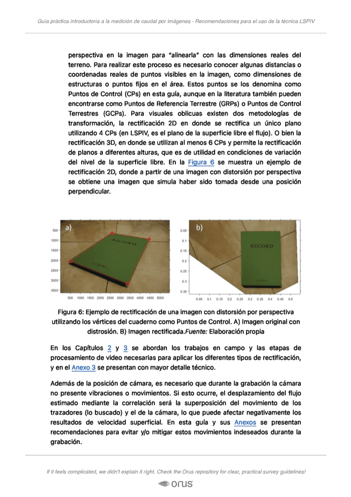
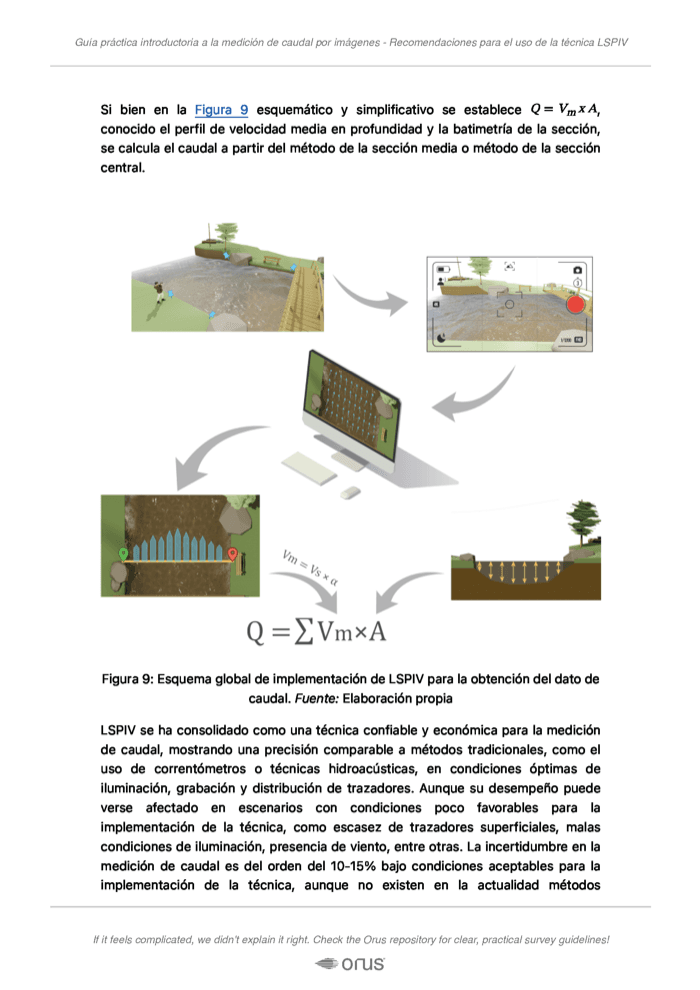
Image-based velocimetry best-practice guidelines

“If it feels complicated, we didn't explain it right.”

A step-by-step guide to setting up, calibrating and reading image-based velocimetry measurements. It's bilingual, full of visuals, and tested in the field with hydrological institutions.

Guidelines page 1
Guidelines page 2
Guidelines page 3
Guidelines page 4

Contact

Let's talk about your river

Tell us about your site, or just say hello. We usually get back to you within a day or two.

Orus business card: River metrics from images