RIVeR-LAC: measuring rivers by video across Latin America
A one-year project (April 2024 to April 2025), funded by the Inter-American Development Bank, turned a technique born in Córdoba into an open-source tool for a whole region.





A different way to measure a river
Measuring how much water is moving through a river usually means someone standing in it, or a boat, or expensive equipment anchored to a bridge. In Latin America and the Caribbean, many water agencies simply do not have the budget or the staff for that, and some rivers are dangerous to approach at all, especially during a flood.
RIVeR-LAC set out to change that. From April 2024 to April 2025, a team from the National University of Córdoba's Hydraulics Laboratory (UNC), the National Water Institute of Argentina (INA), and Orus built and tested a way to measure river flow from ordinary video, funded by the Inter-American Development Bank (IDB) under the WMO HydroHub Innovation Call.
RIVeR turning a video of the river into a surface-velocity field, ready to calculate discharge.
Four outputs, one year
The project delivered four concrete outputs.
A rebuilt RIVeR. RIVeR was already being developed by the National University of Córdoba and CONICET before this project, and RIVeR-LAC brought Orus into that development. Together we moved the software from MATLAB to Python and React, so it could run on any computer without a paid license. It kept RIVeR's familiar step-by-step workflow, added smarter defaults, and came out translated into English, Spanish and French, public on GitHub since March 2025.
Best practice guidelines. A newcomer's guide to LSPIV that walks through the whole process, from choosing a camera angle to reading a final report, published in Spanish and English so a first-time user has no learning curve to face alone.
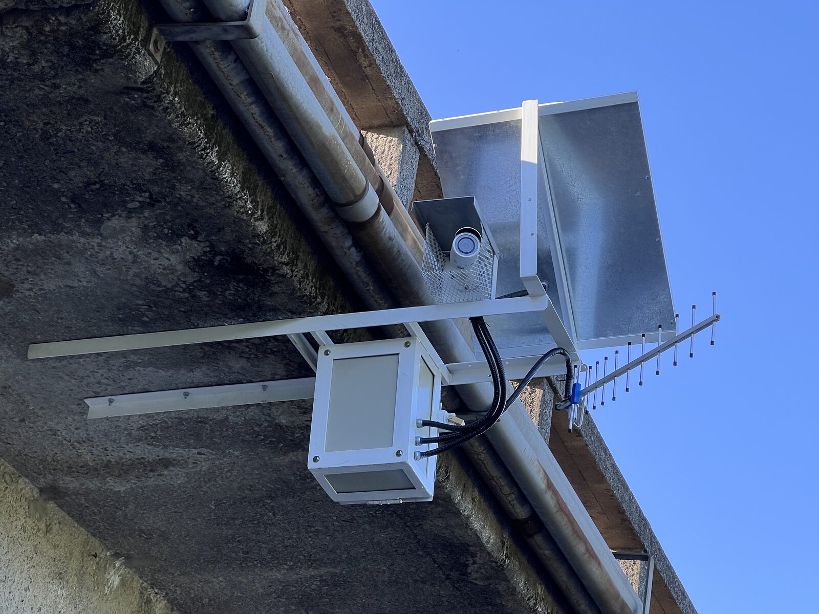
Two continuous monitoring stations. The team put two fixed LSPIV stations into permanent operation: one in the mountains outside Córdoba, one in the flat, urban Matanza-Riachuelo basin near Buenos Aires. Each one runs unattended, powered by a solar panel and sending data over a 3G or 4G connection, watching its river continuously instead of during occasional visits.
Communication. Conference presentations, outreach through partner networks, and a closing webinar that drew 358 registrants from 30 countries across Latin America and the Caribbean carried the project beyond the team itself.
All of it is free to use. RIVeR is published under the AGPL-3.0 license on GitHub, and the guidelines are available under Creative Commons.
More data, working alongside hydroacoustic methods
The Córdoba station ran on the San Antonio river in Villa Carlos Paz since before the project even started, one of ten LSPIV stations Orus already operated across the province. Over the life of the project it produced more than 300 discharge measurements, covering everything from ordinary flow to sudden flood peaks that are almost impossible to catch with a person and a current meter.
In the same period, the local water authority (APRHi) recorded about 30 measurements using traditional hydroacoustic equipment at a nearby point. The two methods are not competitors, they complement each other: hydroacoustic instruments give a highly precise reading at a single moment, while a camera watches continuously and catches events nobody was there to measure by hand, including the flood peaks that matter most for early warning. Each one covers a different range of conditions and works at a different frequency, and the numbers from both agree with each other where they overlap.
Rating curve for the Córdoba station: acoustic gaugings alone, then acoustic gaugings plus dense LSPIV coverage.
When the sensor did not work, the team built another way
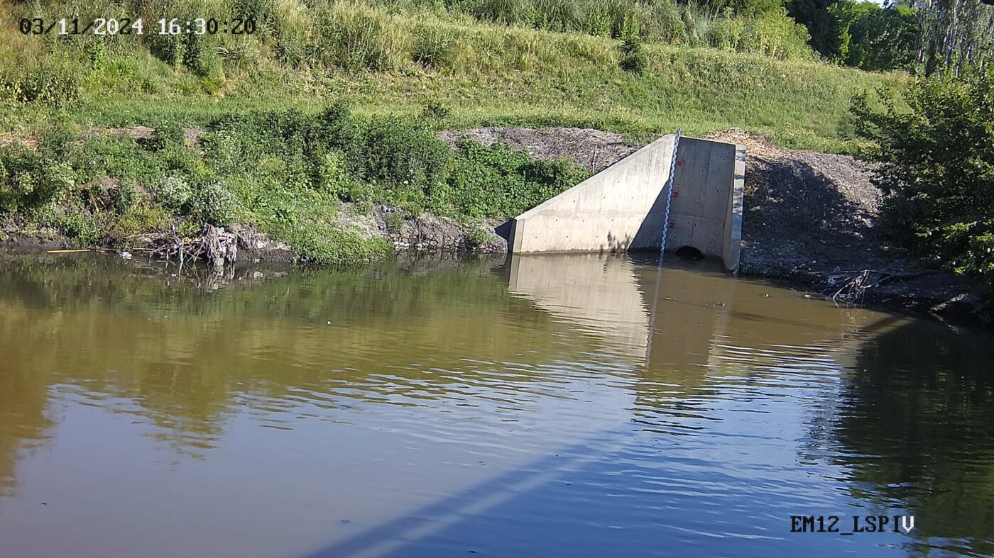
The station on the Matanza River, installed on the Riccheri Highway bridge in October 2024, ran into a real problem early on: the water level sensor at the site, managed by a different institution, was not working. Water level is exactly what turns a velocity measurement into a discharge number, so the station could not do its job without it.
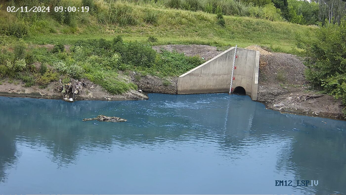
Rather than wait, the team trained a deep learning model to read water level directly from the same camera images already being used to measure flow. It worked well enough to get the station running, and it pointed at something bigger: a single camera that measures both level and velocity, with no separate sensor to install, calibrate or maintain. Three frames below, in different conditions, each shown as the camera recorded it and as the model sees it once processed.
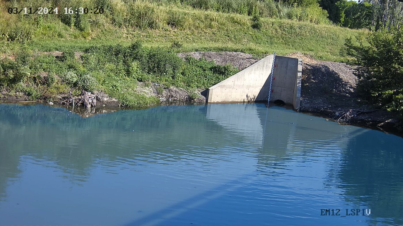 Camera frameProcessed for detection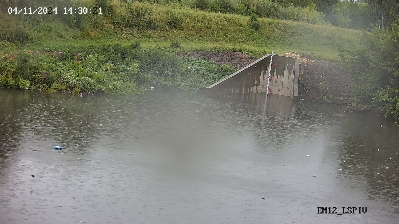
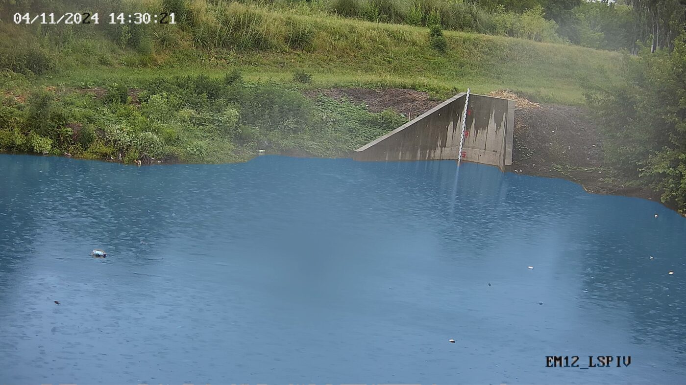 Camera frameProcessed for detection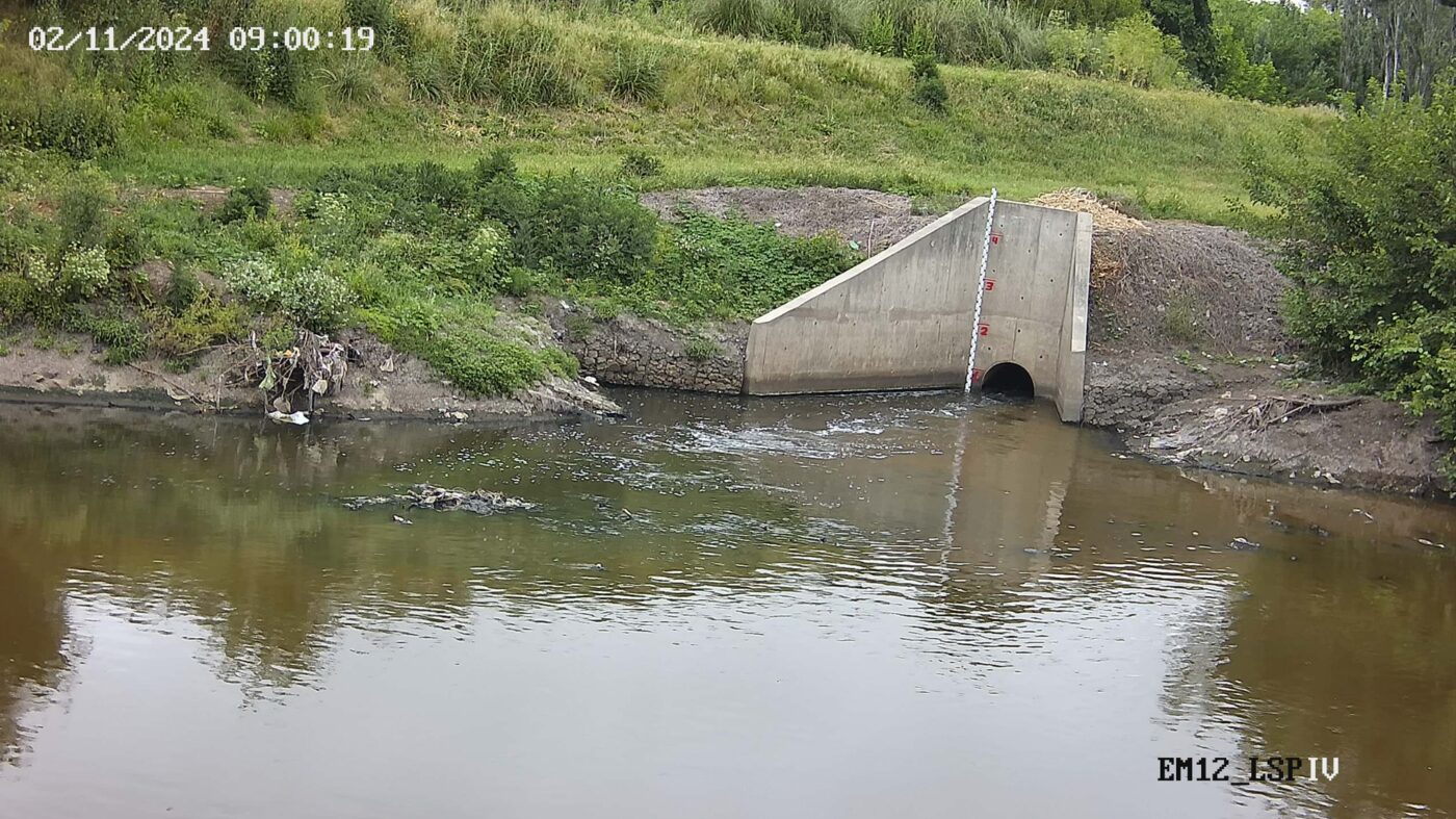
 Camera frameProcessed for detection
Who was in the room
RIVeR-LAC was a genuine collaboration: a university (UNC), a national water institute (INA), a technology company (Orus), and the basin authorities on the ground (ACUMAR in Buenos Aires, APRHi in Córdoba). INA and ACUMAR signed a formal agreement to keep the Buenos Aires station running after the project ended, which is the kind of detail that decides whether a pilot becomes permanent infrastructure or gets forgotten.
The guidelines went through two full review rounds, first in Spanish, then in English, with feedback from WMO's hydrometry experts, Environment and Climate Change Canada (ECCC), the Costa Rican Institute of Electricity (ICE), and the Caribbean Institute for Meteorology and Hydrology, among others.
What comes next
Since the project ended, the team has kept building on what RIVeR-LAC started. One direction is Space-Time Image Velocimetry (STIV), a complementary image-based technique the team is exploring as an addition to LSPIV, useful in situations where LSPIV's usual surface tracers are not visible.
Another is a dashboard to manage every station from one place: watching processed video and images, checking discharge results, and keeping an eye on each station's status. That dashboard did not exist yet when RIVeR-LAC concluded, it grew out of the project afterward, and it is now called DataView.
RIVeR itself remains free and open source, on GitHub, where anyone can read the code, raise an issue, or suggest a change.
“Powerful, simple, and accessible.”
WMO, describing the RIVeR-LAC project